Autonomous relative navigation using star-tracker images
Programme Reference
GT17-335SA
Status
Closed
Country
Italy
Start Date
2022
End Date
2024
Programme: GSTP Prime Contractor: POLITECNICO DI MILANO
Subcontractors:
Leonardo S.p.a. • Italy
Objectives
The objective of this activity is to develop an autonomous navigation function that uses Star-Tracker images of extended or unresolved (point-like) objects to estimate the SC trajectory.
Description
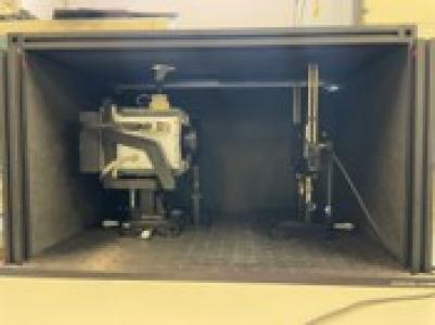
ESA has developed vision-based navigation systems using dedicated visual cameras for autonomous relative navigation (e.g. ROSETTA asteroid fly-bys, JUICE Jovian moons fly-bys). Based on previous experience, this activity will develop an autonomous navigation system without dedicated HW developments. The main navigation sensor is a star-tracker (STR) that provide images to the OBC, which hosts the image processing and navigation filter for autonomous navigation. Note that STR images are slightly de-focused (optimized for star centralising) and, therefore, special measures might be needed for the image processing. When the SC is near the celestial body, the STR images show extended objects (the object spreads over many pixels). The image processing algorithm shall derive useful measurements to the navigation filter (e.g. Line-Of-Sight towards to the geometrical centre of the object).When the SC is far from the celestial body, the objects are unresolved (point-like) and the image processing algorithm shall be able to distinguish it from the stars. The navigation filter will estimate the SC trajectory. Three scenarios shall be analysed:Relative navigation during approach or fly-by.Navigation in Earth-Sun L2 using Earth or Moon imagesOrbit around a celestial body.The navigation chain, including the image processing techniques, shall be assessed for each mission scenario. The autonomous navigation system design shall require only parameter modifications to be used in different missions. Validation of the image processing algorithms shall be performed with simulations using representative images including defocusing of the STR images. Performance models of the STR and image processing shall be developed to perform Monte Carlo simulations of the navigation chain. Finally, the full navigation algorithms will be implemented in a representative flight processor and perform HW-in-the-Loop tests (STR EM, OBC, Functional model or representative emulator) in representative flight conditions.
• Application domain: GEN-Generic Technologies
•
Technology Domain:
5-Space System Control
5-Space System Control
•
Competence Domain:
3-Avionic Systems
3-Avionic Systems
• Initial TRL: TRL 3
• Target TRL: TRL 5
• Achieved TRL: TRL 5
•HarmoRoadMap: N/A
•IPC Document: ESA/IPC(2021)61