Land Analytics EO Platform

Objective(s):
- • Process large amount of Sentinel data, in order to achieve a competitive production chain to reduce delivery time and cost for the Copernicus Land mapping
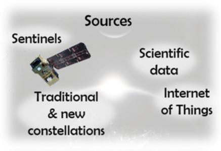
- • Combine Sentinel imagery with other type of heterogeneous data and information (meteorological data, national geographic inventories, agricultural data-sets, etc.)
Background and justification:
With the advent of Sentinel data, Land Monitoring is entering in a new era with unprecedented combined spatial and temporal resolution data freely available. Moreover, the data deluge should be promptly and intelligently addressed to extract useful information from different sources without the risk of being flooded by data. The Land Analytics Earth Observation Platform is the tool to address both challenges. It combines the capacity of processing big volumes of satellite imagery with the capacity of extract meaningful information form data using analytics tools.
Achievements and status: The Land Analytics Earth Observation Platform activity has been successfully completed. The main achievements are:
- • Alignment of the processing capacity of Indra with the state-of-the art in Earth Observation downstream services using the EO+cloud+analytics formula
- • Refinement of the water and wetness extraction processors by using time series and other sources for statistical cleansing
- • Fully industrial implementation of the platform in a cloud environment using virtual machines.
- • Improvement of the performance of the platform by refining the alignment between cloud architecture and the platform components
- • Extraction of time series waterbodies for real industrial needs as several offers and projects related to topics as emergencies and security
Benefits:
The use of analytics functions with EO and non-EO data will bring the following benefits:
- • Production of thematically enhanced land monitoring products by extracting information hidden in the EO data itself and exploiting relations between EO and non-EO data.
- • Production of ad-hoc outputs for a selected time-lapse, for instance by selection a time frame of an event like flooding.
- • Production of outputs in a daily, 10-day, seasonal and year-long basis, suited to take into account seasonal and phenological changes (water and wetness layer will be more meaningful if it is linked to the seasons, especially in certain climatic zones of Europe)
- • Generation of continuous update of a land monitoring product, instead of fixed-date products
- • Production of a wide arrange of enhanced EO products from a variety of satellites, structured and un-structured ancillary sources
