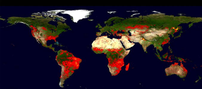
3-D Fire Radiative Power Modelling Approach

Biomass burning is a key Earth system process, a major element of the terrestrial carbon cycle and a globally highly significant source of certain atmospheric trace gases and (primarily fine mode) aerosols. Natural and anthropogenic biomass burning occurs on all continents except Antarctica, with an estimated average of 3.5 - 4.5 million km2 of vegetation burnt in global wildfires each year (though this does not include the very large numbers of "small" agricultural fires that are difficult to map using current coarse spatial resolution remote sensing datasets). As such, landscape fires are arguably the most important and widespread ecosystem disturbance agent worldwide and their pyrogenic gaseous and particulate emissions are recognized to be highly significant at the global scale, where Earth’s atmospheric chemistry, cloud and rainfall characteristics, and radiative budget are all influenced. Understanding these impacts of fire is seen as critical to improved understanding of these issues, and because of the spatial scales and high temporal variability's involved satellite Earth Observation (EO) has much to contribute, including thermal infrared methods. The use of thermal remote sensing in the study of vegetation fires is therefore the focus of this study.
