Integrating SAR interferometry and GNSS for studying tectonic processes in Indonesia

Indonesia is periodically affected by severe volcanic eruptions and earthquakes, which are geologically coupled to the convergence of the Australian tectonic plate beneath the Sunda Plate. SAR interferometry (InSAR) is a satellite technology based on radar sensors that can be used to support the study and modelling of terrain movements such as tectonic motions associated with faults, and volcanic processes related to magma movement. The main advantages of InSAR is the synoptic view of wide areas, and the periodic surveying that guarantees long-term monitoring and time series analysis.
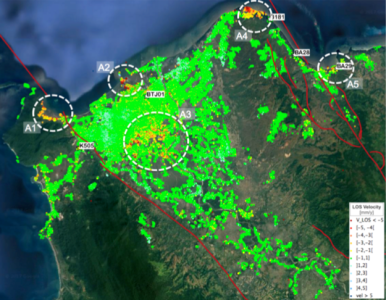
Multi-temporal InSAR (MTI) techniques provide both mean displacement maps and displacement time series over selected, stable objects on Earth's surface. Nowadays, historical SAR data acquired in different bands and from several satellite missions are available, and the launch of Copernicus Sentinel-1A and -1B guarantees data for the future. The study of tectonic phenomena requires large-scale spatial analysis that poses challenges in MTI processing. Reliable modelling needs additional information coming, for example, from geodetic data, such as those provided by GNSS networks. This activity performed an analysis of tectonic-induced surface displacements through InSAR MTI techniques over Indonesian test areas, selected according to the availability of historical SAR data, GNSS networks, and geological data.
